|
|
|
|
|
CHALLENGING DAY HIKE 11.8 miles 1,800' elevation gain
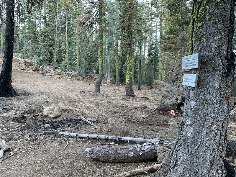
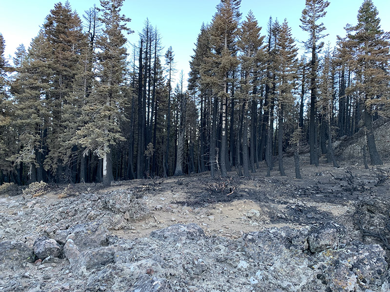
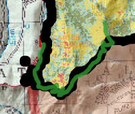
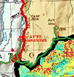
best season: 1:25 drive dogs welcome 1/2 mile of trail up to PCT obliterated by bulldozer, also most trees dead from Dixie Fire 2021 A long walk up a big mountain. One of our highest peaks. A brief, rocky cross-country final ascent at the top. Outstanding views on clear days. The east flank of Butt Mountain is the mid-point of the famed Pacific Crest Trail, halfway between Mexico and Canada. The trail is usually empty, but in mid-July the surviving thru hikers come striding up our trail toward Butt Mountain, and then back down the other side heading toward Canada. See Trail Journals for their nearly real-time accounts. Deer Creek (of Deer Creek Canyon along Highway 32, Deer Creek in-and-back, and Deer Creek bridge along Highway 99 near Vina) originates in a spring 0.5 mi to the east of the summit of Butt Mountain. There is a lonely campsite nestled in the trees near the top. On moonless, clear nights the Milky Way galaxy can be seen stretching across the sky. And if the unimaginable extent of the universe becomes overpowering, one can look down far below to the lights of Chester twinkling cheerily. This hike is in Lassen National Forest; owned by the public, managed by Lassen National Forest. Backpacking welcomed; campfires welcomed except late Summer & early Fall.
(campsite burned Aug 2021) Maps (Sept 2017 edition) |