|
|
|
EASY DAY HIKE 4.6 miles 700' elevation gain
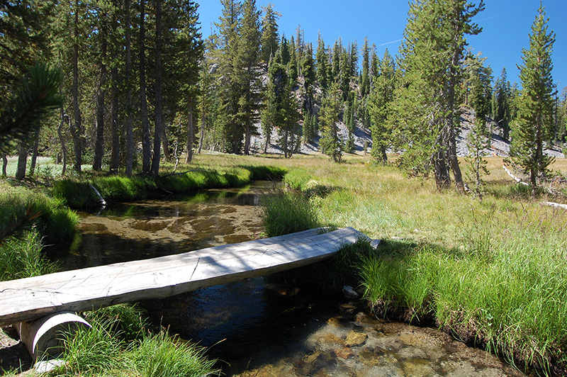
best season: 1:50 drive Mostly burned in Dixie Fire 2021 A intriguing semi-loop hike with a sampling of much the backcountry has to offer. Meadows, lakes, waterfalls, vistas, and forests. The suggested route includes cross-country, and for this the Avenza version of the map is recommended. Otherwise, one can stay on the trails and add 1.2 miles to the hike. This hike is in Lassen National Park; owned by the public, managed by Lassen National Park. Backpacking at least 200' from water, no campfires, bear-proof food storage, in-person self-service permit from any Park ranger station. Maps (July 2017 edition)
|

 Adobe PDF version
 Gaia GPS-compatible