|
|
|
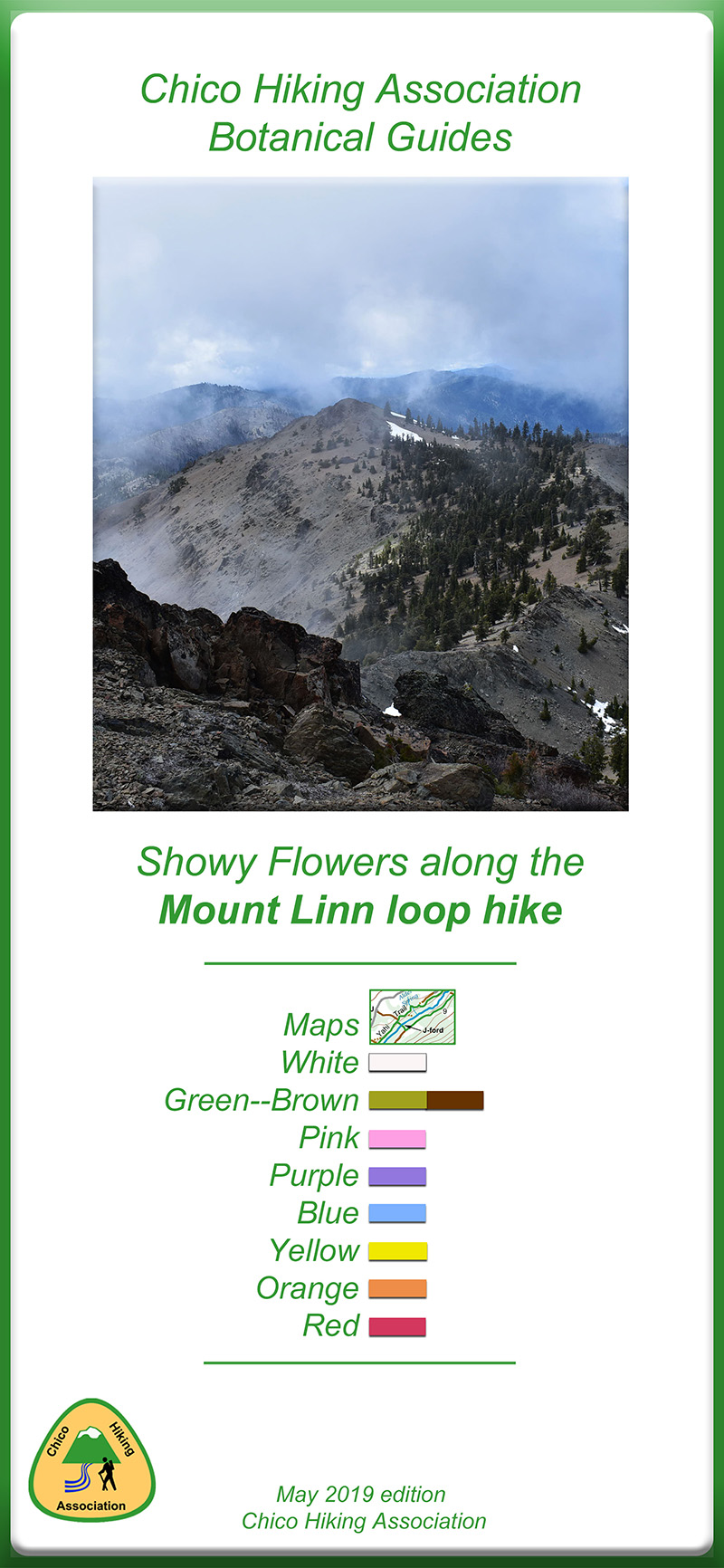
EASY BACKPACK 5.6 miles 1,800' elevation gain
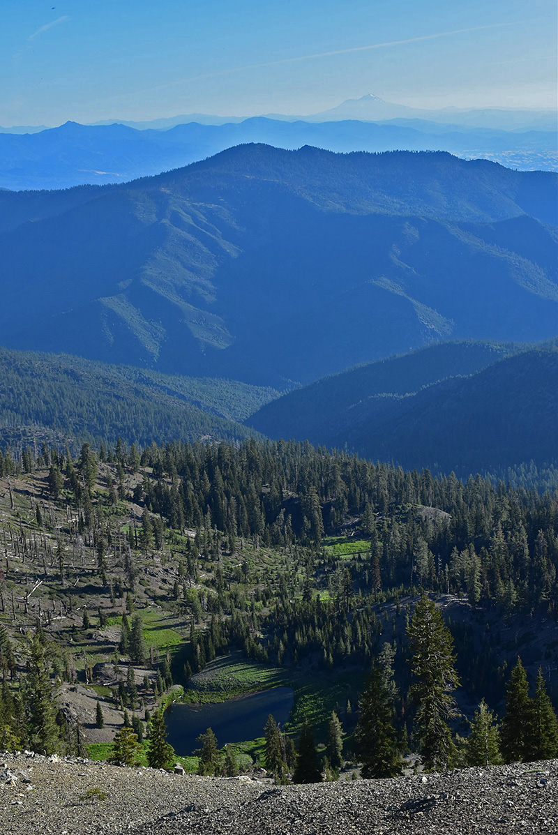
best season: 2:10 drive dogs welcome Mount Linn is the highest peak in California's Coastal Ranges. An exceptional loop, through varied terrain of rocky ridges, meadows, clear creeklets, and small lakes. There are 17 campsites along the loop offering a variety of options Dangerous if snow on the trail. In 2017 the snow had just melted 16 days after the Humbug DWR weather station went to zero snow This hike is in Yolla Bolly Wilderness; owned by the public, managed by Mendocino National Forest. Backpacking welcomed; campfires welcomed. As of 2021 Verizon has cell coverage on many parts of this hike
There is a
grove of Foxtail Pines along the ridge route Mile 3.7 to
Mile 4.3 They are a relatively uncommon species,
and this is the southernmost population in the Coastal
Ranges. About 5% of the grove burned in the August Complex
2020.
AllTrails Maps (June 2021 version)
|

 Avenza version
 Adobe PDF version