|
|
|
SHORT HIKE 5.0 miles 400' elevation gain
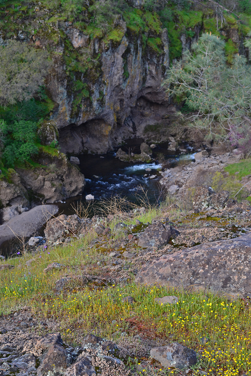
best season: 1:00 drive dogs welcome This does a tour in Iron Canyon along Paynes Creek and the Sacramento River Eons ago the Sacramento River carved Iron Canyon into a basalt lava flow that was obstructing its waters There is a ford of Paynes Creek near the start of the hike. There is no online flow gauge for Paynes Creek. However, Cow Creek (20 miles north) has a flow gauge. One day when Cow Creek flow gauge was at Riv Stage 5.25-ft, Payne Creek Crossing was 14" deep and fordable without getting knees wet. Local conditions may vary, use caution. As a substitute, the trailhead for Paynes Creek Point is just over a mile away. No ford required Wildflowers peak in late March or early April This hike is in Sacramento River Bend Area; owned by the public, managed by Redding Field Office of Bureau of Land Management. Backpacking welcomed. Calif. Campfire Permit required for backpacking stoves and campfires. Redding Bureau of Land Management campfire restrictions here Maps |
 Avenza version
 Adobe PDF version