|
|
|
OVERNIGHT BACKPACK 8.9 miles 750' elevation gain
best season: 1:10 drive dogs welcome
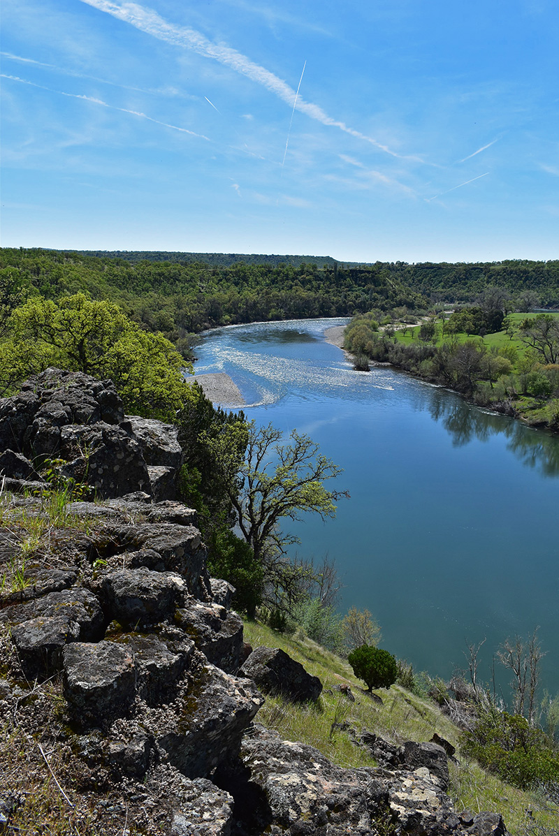
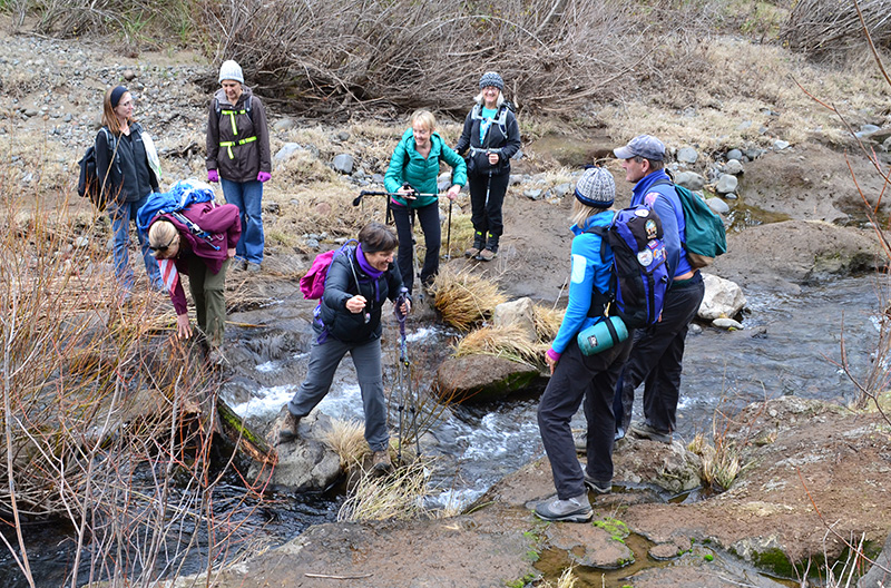
April 2022 The Sacramento River Bend Area is former ranch land now managed by the US Bureau of Land Management. On our public's behalf, BLM is removing fences and converting old 4WD routes to trails. It may be the best winter-time hiking area in the North State. This hike follows the river, climbs gently up bluffs, and drops into creekside valleys. Fine views, on clear days, of Lassen Peak and Mount Shasta. The ford of Inks Creek is probably impassable for a couple days after major storms. It is usually easy a week after storms. In between use your judgment and do not underestimate the power of flowing water. There is no automated gauge of the flow of Inks Creek.
Inks Cr Ford Jan 3, 2016 Separately, the Sacramento River backs up and floods the trail at Inks Creek Ford at River Stage 9.0-feet. Camp Gulch floods from river backup at 9.0-ft. Check this automated river gauge for current reading: Sacramento River at Bend Bridge About May 1st the grasses go to seed (stickers in your socks), and in that season are a lot of flies and mosquitos near the creeks and river. This hike is in Sacramento River Bend Area; owned by the public, managed by Redding Field Office of Bureau of Land Management. Backpacking welcomed. Calif. Campfire Permit required for backpacking stoves and campfires. Redding Bureau of Land Management campfire restrictions here Nights are perhaps
too long for hiking on the winter side of the solstices, so we
recommend this trip after the Spring solstice
Street View of trailhead Maps |
 Avenza version
 Adobe PDF version