|
|
|
CHALLENGING DAY HIKE 12.5 miles 1,400' elevation gain
best season: 1:40 drive dogs welcome This hike is in the Cache Creek Natural Area, and follows the ridgeline border of the Cache Creek Wilderness (established 2006).
There is a crossing of Bear Creek. The flow ranges from easy to impassable. The Bear Creek Flow Gauge gives current flow readings.
This is former ranch country, and there are multiple old 4WD routes. Recommended to bring gps, if not well-skilled in following topography.
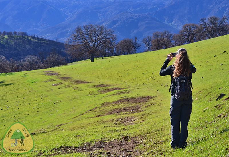
Trail has serious
clay mud when wet; let dry for 10 or more days after rain
before doing this hike. check recent rain here This hike is in Cache Creek Natural Area; owned by the public, managed by Ukiah Field Office of Bureau of Land Management. Backpacking welcomed; campfires welcomed except during wildfire season.
Street View of trailhead Maps |
 Avenza version
 Adobe PDF version