|
|
|
MODERATE BACKPACK 20.3 miles 1350' elevation gain
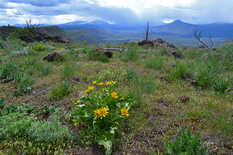
best season: 2:05 drive dogs welcome This is a legendary part of the Pacific Crest Trail. The thru hikers arrive in July to find 90F temperatures and no trailside water for 30 trail-miles We hike it in spring when there are abundant wildflowers and the surrounding mountains are cloaked in snow. The views of Mount Shasta and Lassen Peak are stunning. It follows the Rim for several miles to the highest elevation of the Hat Creek Rim. Wildflowers peak mid May-early June. Fall color peaks about Nov 1st The only water is down a steep side trail to large, clear Lost Spring. It is an excellent late spring hike, while the Sacramento Valley is heating up, but the High Country is still under snow Maps (Mar 2022 version)
This hike is in Lassen National Forest; owned by the public, managed by Lassen National Forest. Backpacking welcomed; campfires welcomed except late Summer & early Fall.
Juniper campsite |
 Avenza version
 Adobe PDF version